- Haydon Batch
- Wellow Brook
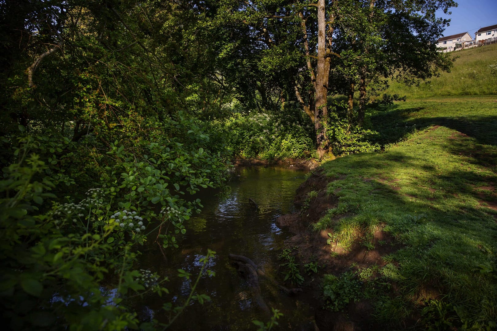
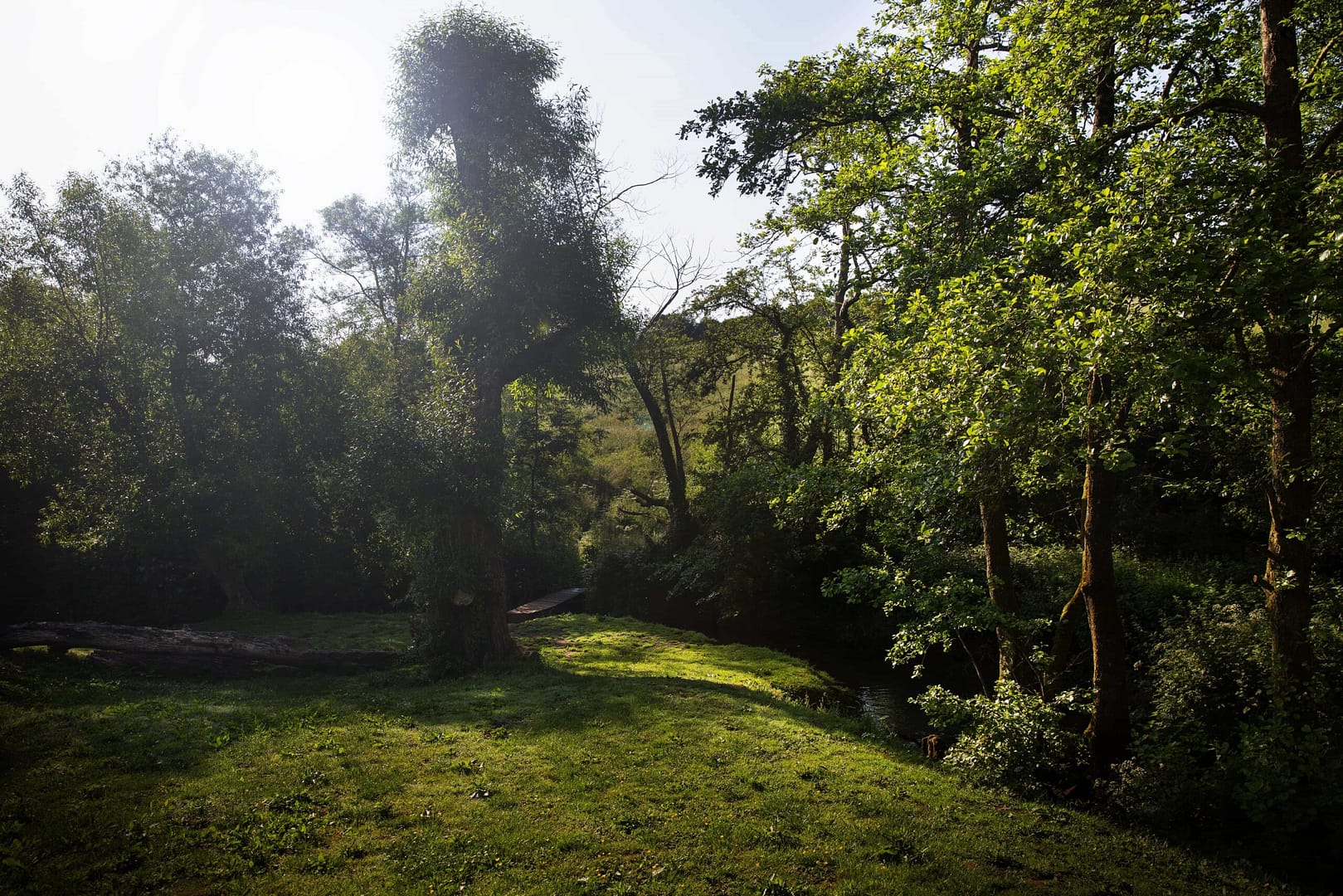
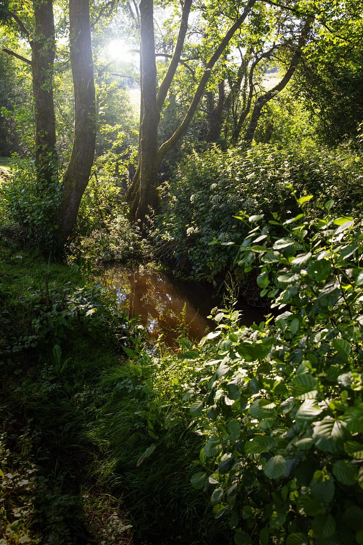
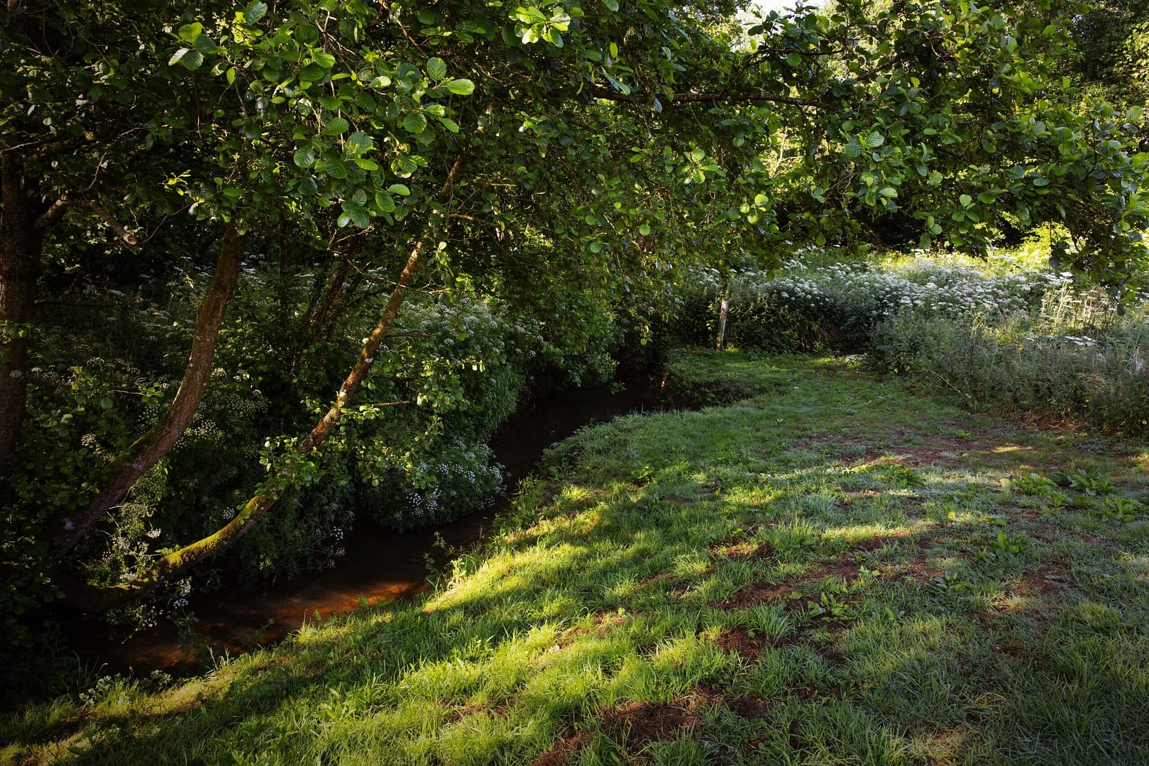
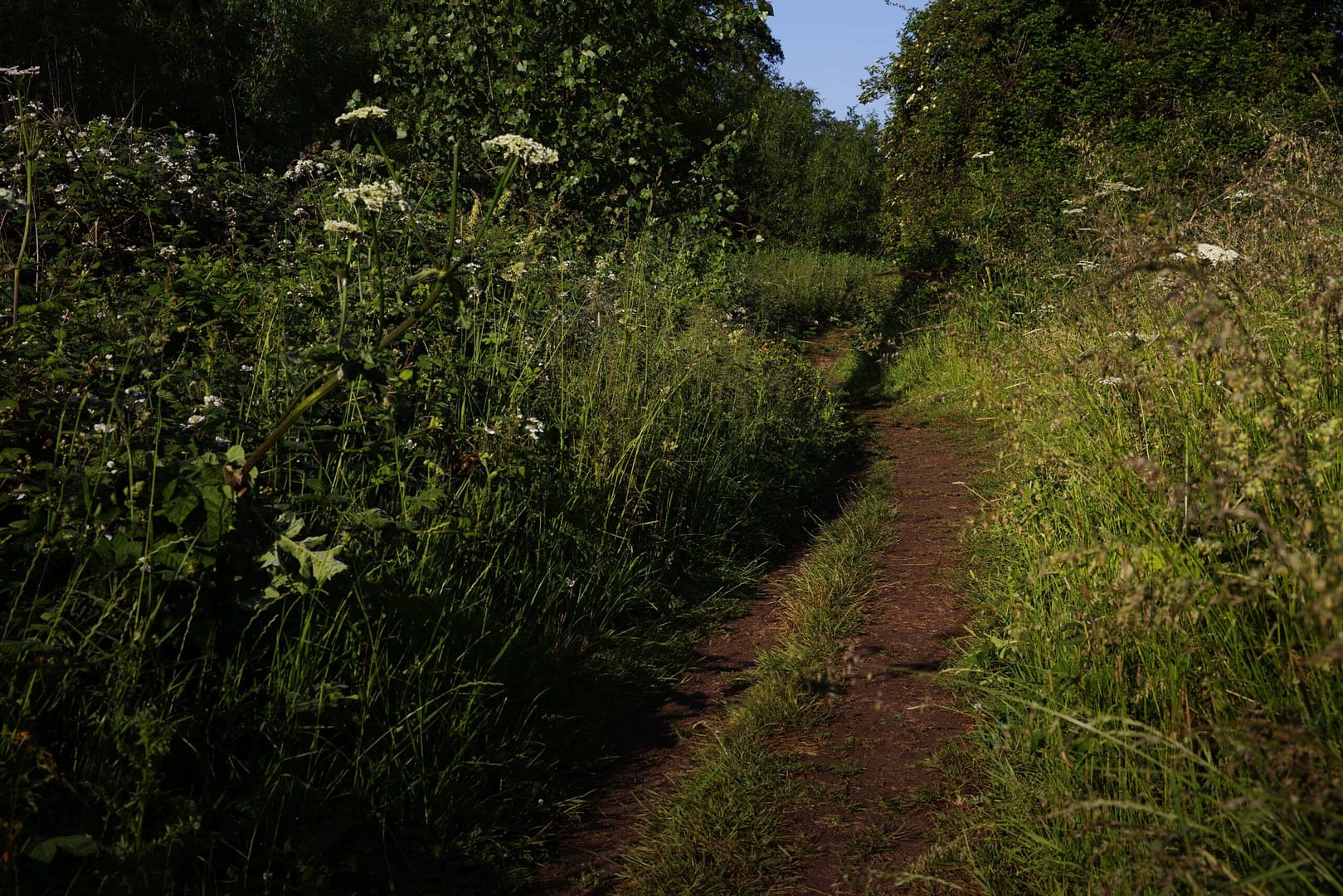
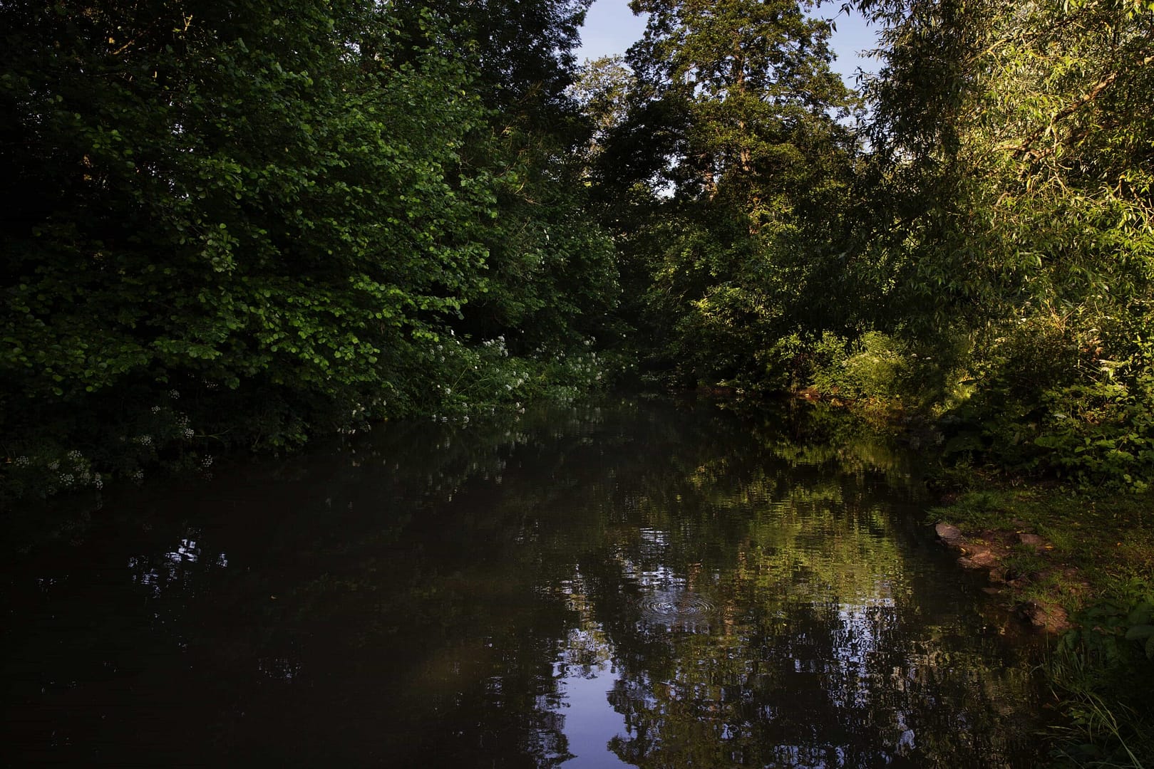
- Waterside Valley
- Midsomer Norton Town Park
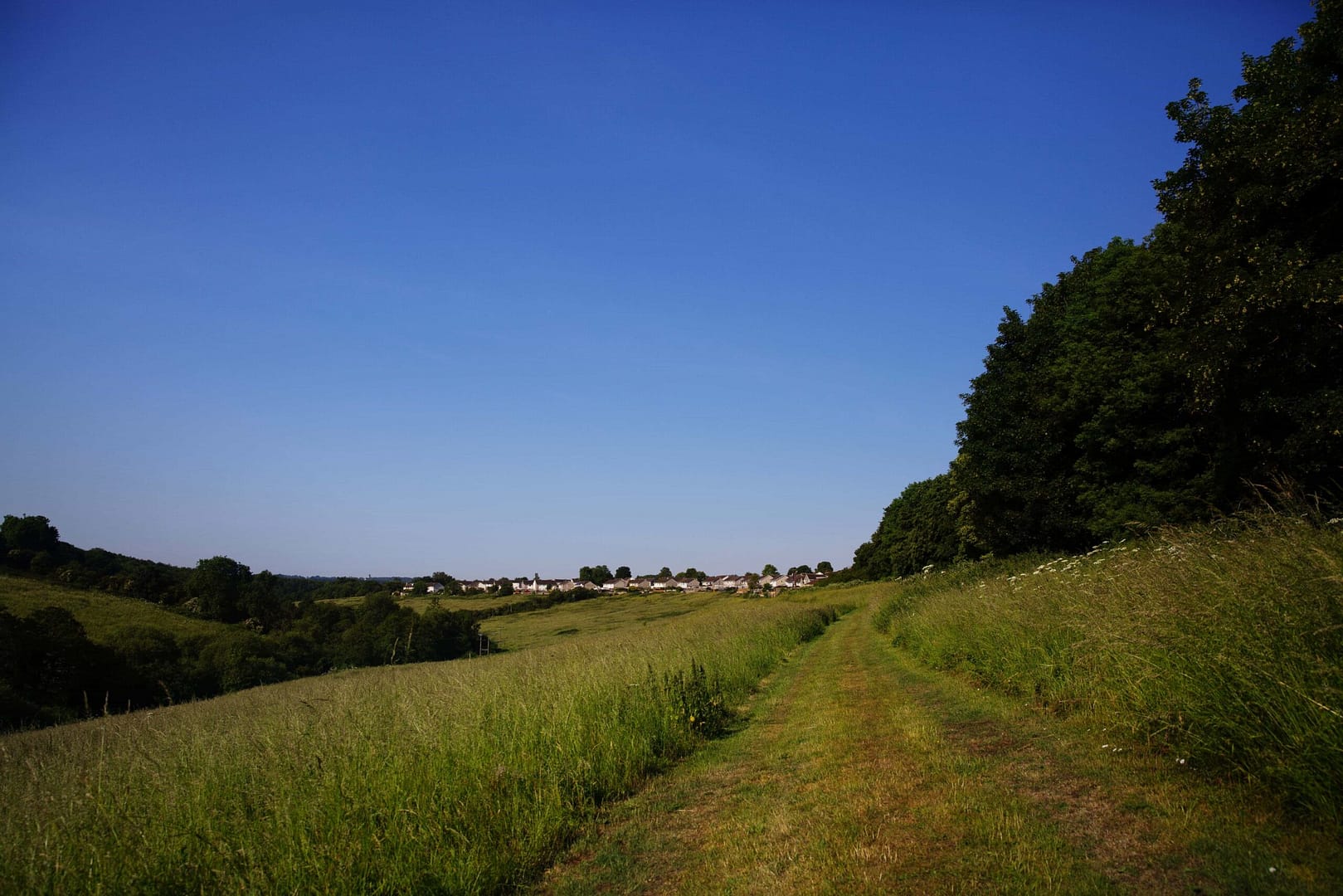
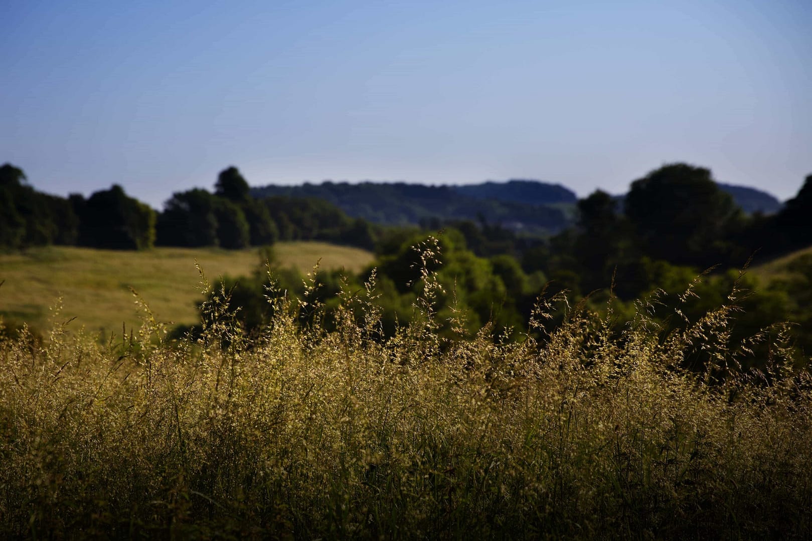
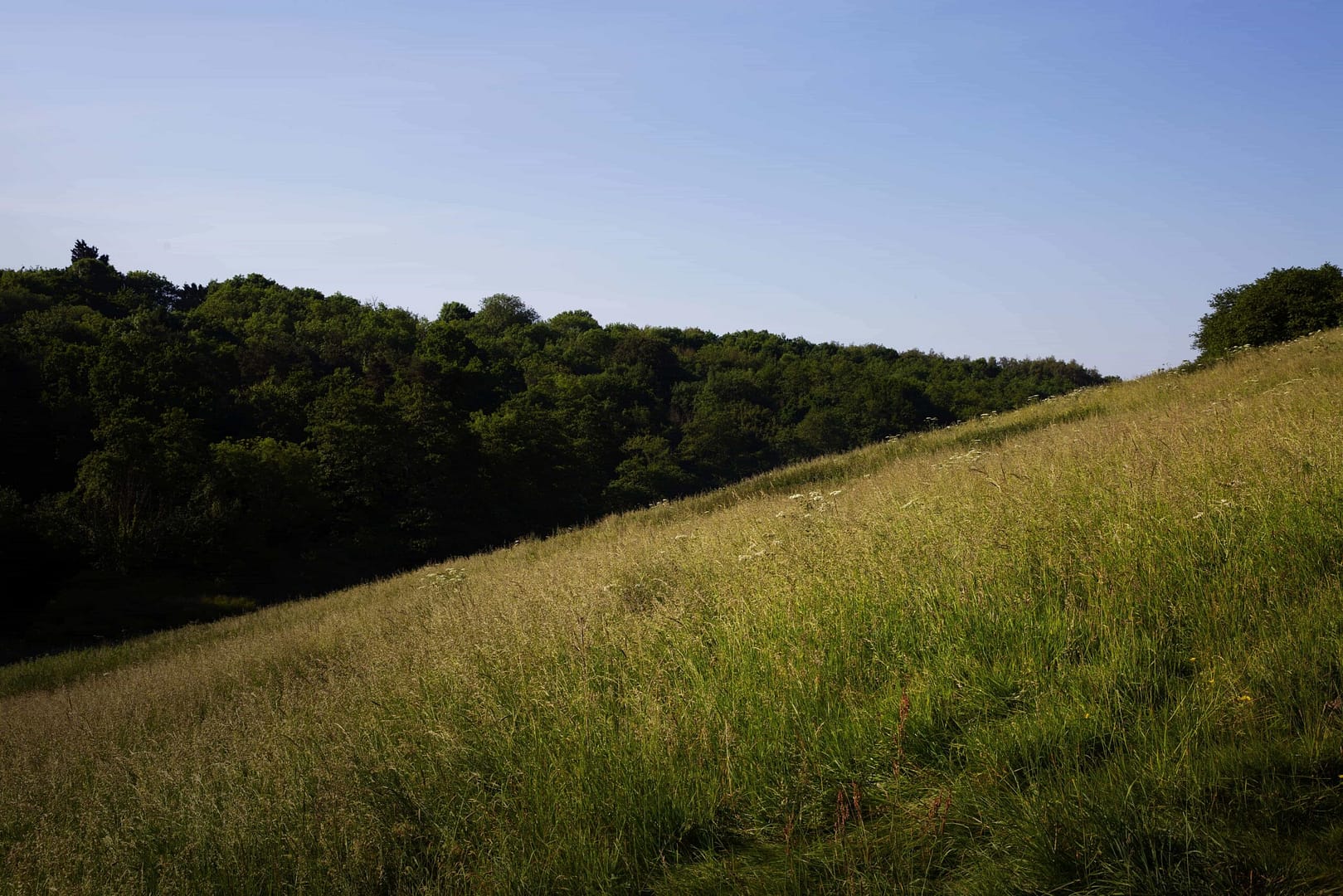
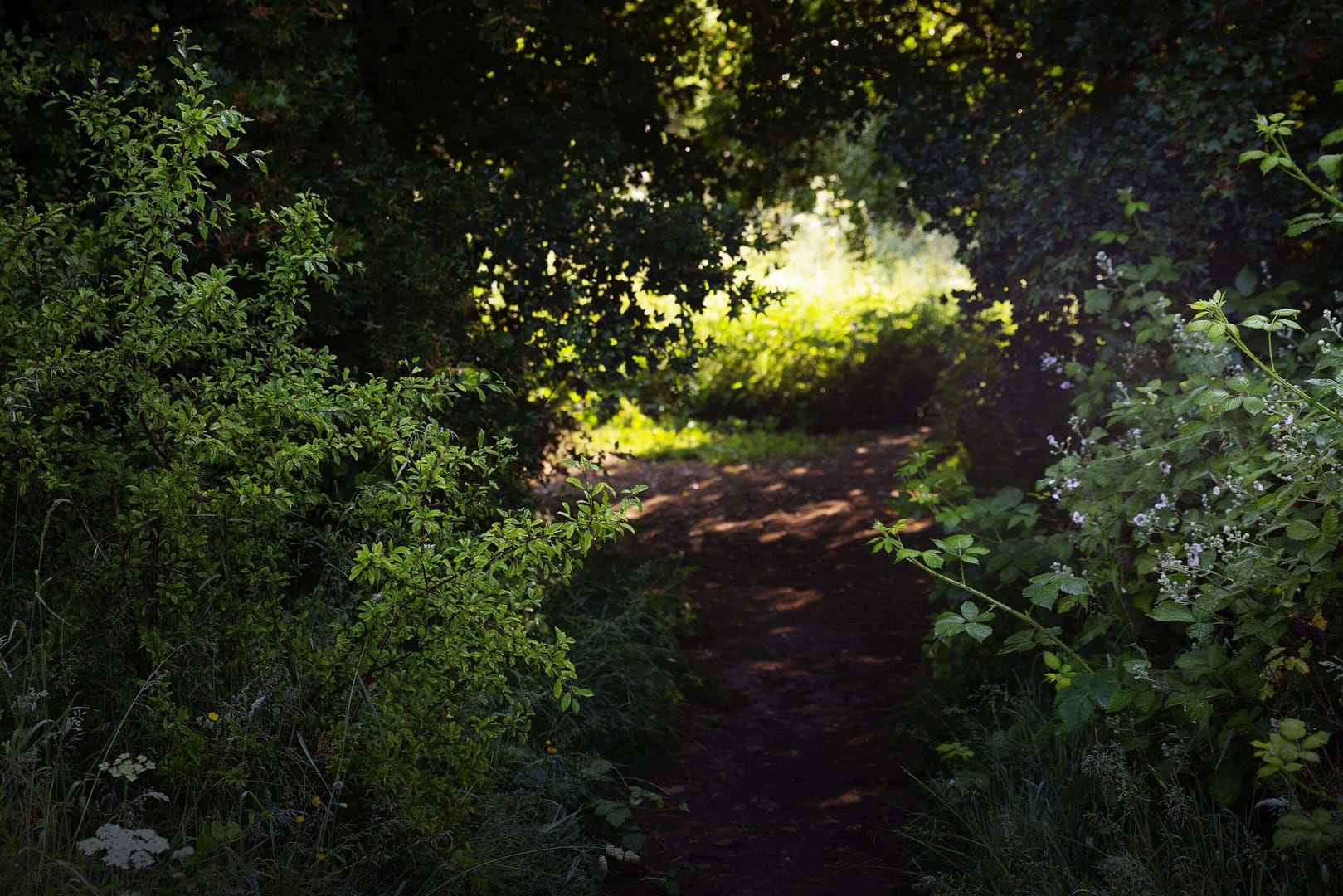
Waterside Valley:
Purchased in July 2021 by Westfield Parish Council with the overall vision to enhance the land as public open space, retaining the wildlife value and natural aspect of the site. It is a space where people of Westfield and surrounding areas can enjoy the nature, the views, and the sense of history and of peace which permeates this ground.
In this audio trail, not only will we learn more about this historic location and the amazing wildlife that features, we’ll also learn about a diving board?
Simply click play on a section below to get started! To hear the full trail in one go, scroll to the bottom of the page.
Introduction to the Waterside Valley Trail:
Waterside Valley History:
Wildlife at Waterside Valley:
Snails Brook and Conclusion of the Waterside Valley Trail:
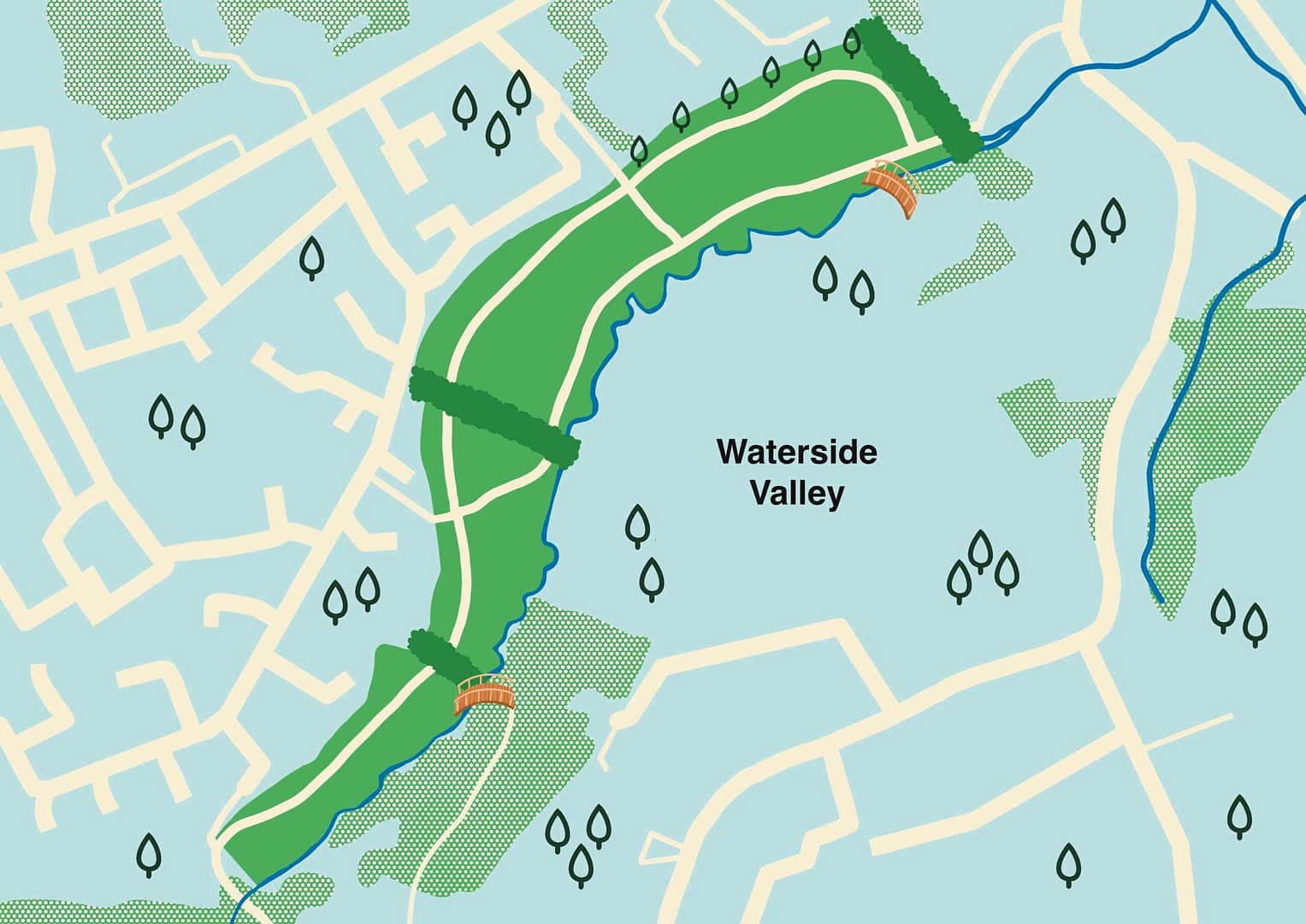
Site Map:
Click to enlarge
Access Information:
Westfield: Entrance between Chestnut Close and Cherry Tree Close on the west boundary from Waterford Park Road
Church Street: Between the St Nicholas’s Church and Swallows Café, in Radstock
The Dring: Public Footpath from Wells Road, adjacent to the Police Station
Go Jauntly, Walking Route:
Click Here to access the Walking Route via Go Jauntly a free and simple to use service.
Explore From Home:
Click to enlarge
Beautiful photos of the Waterside Valley site shot by Tasha Park