This post is part of a series called Somerset Coal Miners
Show More Posts
- High Littleton
- Paulton
- Midsomer Norton – High Street
- Midsomer Norton
- Midsomer Norton Station
- Haydon
- Radstock
- Chilcompton
- Westfield
- Camerton
- Clandown
- Coleford – Coal Barton
- Coleford – Mackintosh
- Holcombe
- Old Mills
- Writhlington
- Timsbury
- Somerset Coal Mining – History!
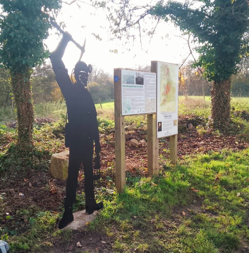
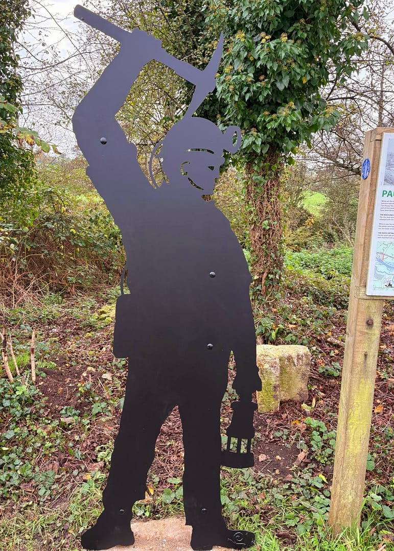
- Paulton Basin
- Farrington Gurney
- Tunley
- Westfield Old Pit Road
- Newton St Loe
- Clandown
- Brandy Bottom
About This Location:
- Paulton Basin is the terminus of the Northern branch of the Somerset Coal Canal and was a central point for at least 15 collieries around Paulton.
- Timsbury and High Littleton were connected to the canal by tram roads.
- It was served by two small railway stations, Paulton Radford and Timsbury Holt on the Camerton Branch of the Bristol and North Somerset Railway.
- Although the canal has been derelict since the end of 19th century, a restoration project began in 2013, there are plans to re-open the entire length from Paulton to Limpley Stoke where the first quarter of a mile of the canal was restored in the 1980s and is now a busy marina.
- The largest dry dock on a canal system in the country is on the east side of the Paulton Basin, the canal carried record tonnages of coal during the 1820s and 1830s.
- The canal carried the coal that fuelled the Georgian development of Bath during most of the 19th century.
- On the northern side of Paulton basin was the terminus for the tram road which served, Old Grove, Priors Tyning and Hayeswood pits, with a branch line to Amesbury and Mearns pits.
- Parts of this line was still in use in 1873, probably carrying horse drawn wagons of coal.
- The southern side of the basin served Brittens, Littlebrook, Paulton Ham and Simons’s Hill terminating at Salisbury Colliery.
- In addition the Paulton Foundry used this line.
- The entire line was disused by 1871, as were the collieries it served.
About Somerset Coal:
 We believe that Somerset coal was first discovered by the Romans. They were in the West Country 43AD, and there are references to it being used at the Temple of Minerva in Aqua Sulis (Bath). The coal used was probably found in coal outcrops around Stratton-on-the-Fosse, and transported along the Roman road – the Fosseway – for use in Bath.
Early coal workings, from coal outcrops, were largely in the Nettlebridge Valley, around Stratton-on-the-Fosse and Coleford, and to the North of the Coalfield, around High Littleton. It is estimated that output in 1500 was estimated about 10,000 tons a year, and that this had increased 10-fold by the late 1600s…
For even more information and history of Somerset Coal, Click Here.